ARCHIVES
April 2009
January 2009
March 2008
February 2008
January 2008
December 2007
October 2007
August 2007
July 2007
May 2007
CONTACT
| About this blog: random thoughts, discoveries, ramblings. Much of this was originally composed as email to a local history mailing list, rather than being written specifically for publishing, so it's a little disjointed. I figured it was better to get it out to everyone else in rough form rather than not at all. If you have a common interest in anything, or can add further to the information I've provided here, please contact me. |
|
Storing "today's" documents
[Craigieburn] Craigieburn in the Victorian Municipal Directory
[Craigieburn] Stamp and postmark from 1904
[Craigieburn / Mickleham / Greenvale] Aitken Hill
[Craigieburn] Could one of these be the Craigieburn Inn site?
[Craigieburn / Mickleham] I found the Robert Burns Hotel houses that were demolished
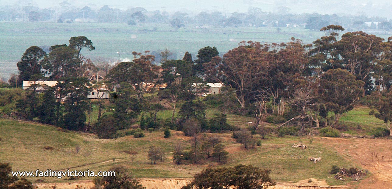
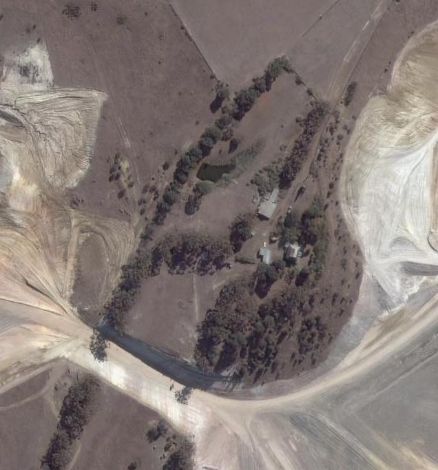
[Craigieburn] Several rural properties demolished for development